Topographical Surveys
A topographical survey is a crucial starting point for many construction, development, and infrastructure projects, which Yates's Drainage Specialists, based in Doncaster, can provide.
What Is a Topographical Survey?
Whether you're a land developer, architect, planning consultant, or contractor, having an accurate, detailed map of your site is essential for effective design, planning, and decision-making.
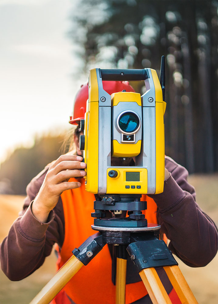
At Yates's Drainage Specialists, we provide precise and reliable topographical surveys to give you the data you need from day one. A topographical survey records the natural and man-made features of a site, including boundaries, ground levels, buildings, trees, drainage systems, and other visible structures. This data is presented in a scaled drawing, giving you a clear picture of the existing conditions so you can plan your project with confidence and avoid costly surprises later down the line.
Our experienced survey team works across a wide range of projects from small private developments to large-scale commercial and civil engineering schemes. We ensure that every survey is tailored to the needs of the project, delivering accurate, efficient results while also helping to save you time and money.
Accurate Land & Site Surveys
Our reputation is built on fair pricing, fast turnaround times, and exceptional quality of data. We use the latest survey technology to capture both the position and height of physical features across your site, including boundaries, structures, utilities, vegetation, and ground levels.
Types of Topographical Surveys We Offer:
- Standard Land Surveys – Using GPS and Total Station equipment to map all visible features with accuracy.
- Drone Surveys (Including LiDAR) – Perfect for larger or difficult-to-access areas, delivering high-resolution aerial mapping.
- Bathymetric Surveys – For projects involving waterways, we gather accurate underwater topography data.
- Mobile Mapping – Vehicle-mounted scanning for large areas such as road networks.
- Laser Scanning – Creating detailed 3D models from which precise measurements can be extracted.
From pre-construction planning to ongoing project monitoring, our topographical surveys give you the clarity, accuracy, and confidence to move forward.
By working closely with our clients, we ensure the right survey method is chosen to suit your site, budget, and project goals. Yates's Drainage Specialists – where precision meets practical solutions for your next project.